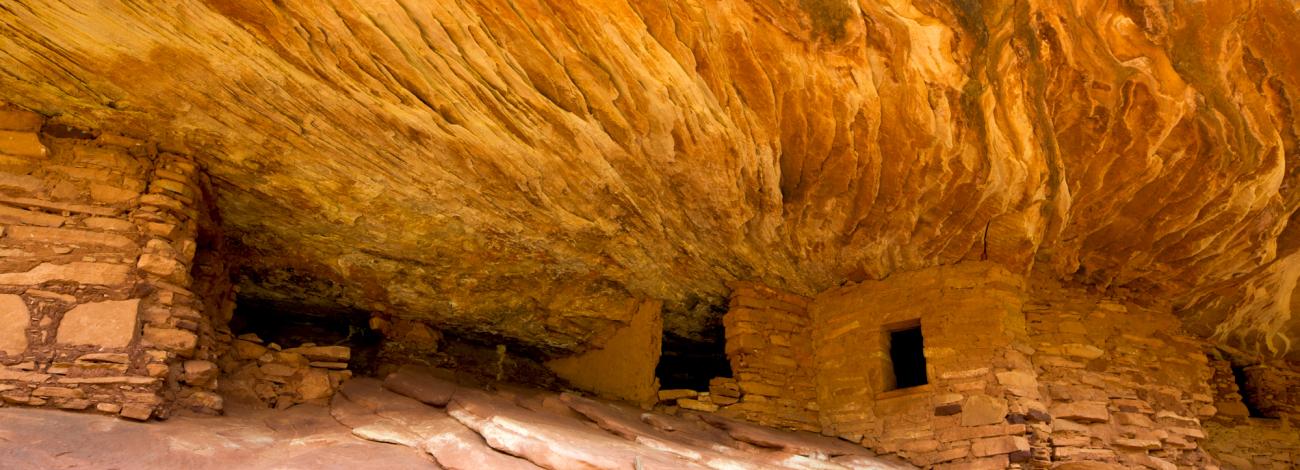
Two July proclamations removed national-monument protection from 2.93 million acres across Bears Ears and Grand Staircase–Escalante. Scroll to see the scale of lands put at risk.
Lines redrawn July 13Land opening scheduled Sept. 11 at 7 a.m. MT
A landscape is only as protected as its connections.
These monuments hold living cultural landscapes, headwaters, wildlife routes, fossil beds, dark skies and immense roadless backcountry. Routes between sacred places, gathering areas and ancestral sites carry meaning alongside the places themselves. The July cuts replace that connected whole with small, separated islands.
On Sept. 11, the excluded acreage is scheduled to reopen to new mining claims, mineral and geothermal leasing, and other actions under public-land laws. One road can fragment habitat and unlock a much larger development footprint. Pumping and runoff can reach scarce seeps and streams. Noise, dust and light can travel beyond a lease line into places people hike, hunt, camp, climb and seek solitude.
2021 monumentCut from the monumentInside the 2026 line
ONE SQUARE = 1% OF THE 2021 FOOTPRINT
Nine percent protected. Ninety-one percent exposed.
For Bears Ears, only about 8.9% remains inside the monument. Across the other 91.1%, the cuts create new exposure to mining claims, mineral and geothermal leasing, land-disposition applications and the roads, construction, noise and water demands that development can bring. The area cut is larger than the entirety of Grand Canyon National Park.
INSIDE OUTSIDE
Satellite imagery is for orientation. The map shows generalized monument boundaries.
At 7 a.m. Mountain time on Sept. 11, the excluded land is scheduled to open to new mining claims, mineral and geothermal leasing, and other actions under public-land laws. Public input can change alternatives, correct an agency’s analysis and strengthen mitigation. Tribal Nations are organizing. Congress can write durable protection into law. The earlier people act, the more choices remain.
DURABLE PROTECTION
TELL CONGRESS TO ACTMAKE STATEWIDE SUPPORT IMPOSSIBLE TO IGNORE
5 Calls makes it easy to contact your representatives and is one of the most effective ways to make your position count. Rather not talk? Call in the evening and leave a voicemail—congressional offices check voicemail daily and tally it like a live call.
PUT YOUR USE ON RECORDDESCRIBE WHAT DEVELOPMENT WOULD CHANGE
Describe how a proposal would affect access, solitude, dark skies, hunting, climbing, guiding, water or nearby businesses. Follow BLM’s project register for comment windows, then give specific firsthand evidence and request a concrete alternative.
427,107Bears Ears acres identified as Wilderness or Wilderness Study Areas
800,000+Grand Staircase acres identified as Wilderness Study Areas
Those overlapping designations add legal guardrails on some excluded acreage. Identifying them in every project review strengthens a defense whose goal is protection across the full landscape.
Sources and method
This story compares the 2021 monument footprints with the boundaries established in July 2026. It is current as of Aug. 28, 2026.
The before outlines come from USGS PAD-US 4.1. The after boundaries come from BLM Utah’s current national-monument layer. Satellite context comes from Esri World Imagery. Shapes were simplified for web display. Percentages use the approximate acreage stated in the proclamations; those proclamations and their maps are authoritative.
Here, “cut” measures acreage excluded from the national-monument reservation and exposed to changed rules. Project-level risk depends on location, design and review. The Sept. 11 opening is described as scheduled because later legal or administrative action could change it.
Scale comparisons divide proclamation acreage by 640 acres per square mile. State land-area figures come from the Census Bureau; Grand Canyon acreage comes from the National Park Service. Poll percentages retain the wording and rounding published by the underlying surveys.